Locating the Gotō Archipelago
The Gotō Islands are found on the far western margins of the Japanese state northwest of Nagasaki City and west of Fukuoka City. Transnationally, they sit on the edge of the East China Sea. The Gotō Archipelago has always been influenced by wider interactions, being 200 kilometers east of Jeju Island in South Korea, 700 kilometers east of Shanghai, and only a few hundred kilometers south of the large island of Tsushima. Between 1550 and 1613, Portuguese and Spanish traders frequented this region and during the Tokugawa period the Dutch were the only European traders permitted to enter the port of Nagasaki until the mid nineteenth century.
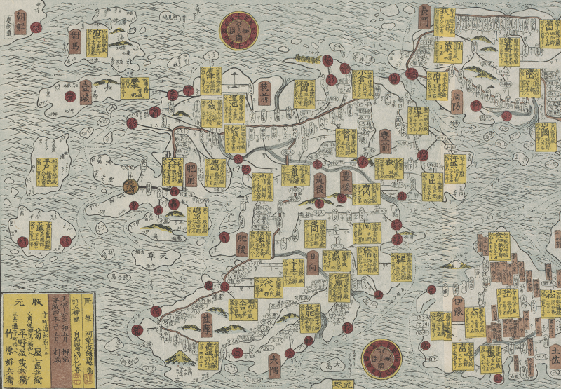
The map above from 1843 (Fig. 1), a segment of the much larger Dainihon kotei oezu, depicts the Gotō Islands showing just one main island, Fukue. The Gotō was frequently imagined amorphously, and many early mapmakers sometimes forgot about these islands entirely.
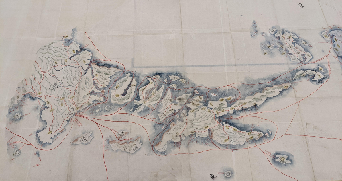
In contrast, the map below (Fig. 2) from the late Edo period (date unknown) shows the islands within the Gotō Archipelago in much more detail. It also features some common boating routes and roads, including the Lower Gotō and the Upper Gotō. The island cut off in the north of this map (on the right hand side) is Uku, and the island on the southern end, Fukue, is not included in its entirety despite being the island where the castle of the lord of Fukue Domain was located.